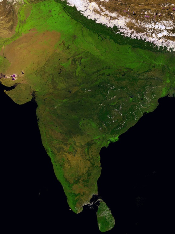
Global vegetation satellite Proba-V has produced some of the best photos of Earth yet. The washing-machine-sized observer has a 2,200-km-wide field of view, and shoots in specific frequencies of red and blue wavelengths that target vegetable growth. This allows us to monitor deforestation, track the spread of deserts, and keep tabs on inland water resources. The earth-watcher can even alert authorities to impending crop failures.
Take a look:
Sicily, October 26, 2013
Europe, March 9, 2014
The satellite covers the Earth every two days, producing crystal-clear maps at 1-km resolution. I have never seen photos that convey the sheer area of thriving, verdant plant life. I am struck by the ocean’s profound hue of royal blue-black, intimating vast depths.
India, March 14, 2014
The Sinai Peninsula, Egypt, March 24, 2014

Grabbing a herbaceous snapshot of our globe allows researchers to more closely study agricultural trends, anthropological effects on environment and vegetation, and other important plant-based data.
You can access all of the data in real-time (it’s up there right now, looking at your plants!), by registering for free with the European Space Agency at:
https://earth.esa.int/web/guest/data-access/browse-data-products/-/asset_publisher/y8Qb/content/proba-v-1km-synthesis-products-s1-toa-s1-toc-and-s10-toc
More photos:
http://www.wired.com/2014/05/proba-v-satellite-anniversary-images/#slide-id-846251


